



소개
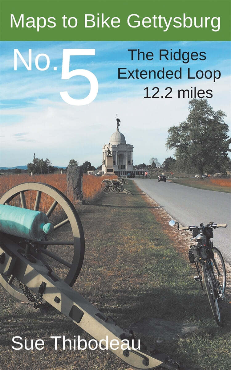
Maps to Bike Gettysburg No. 5: The Ridges Extended Loop provides color maps and turn-by-turn directions for a safe and educational, 12.2-mile park ride through the southern half of the Gettysburg battlefield. The route covers the main Union and Confederate battle lines on July 2-3, 1863. Designed for a lightweight ride, this book complements (but does not require) Civil War Cycling's comprehensive guidebook, Bicycling Gettysburg National Military Park.