



소개
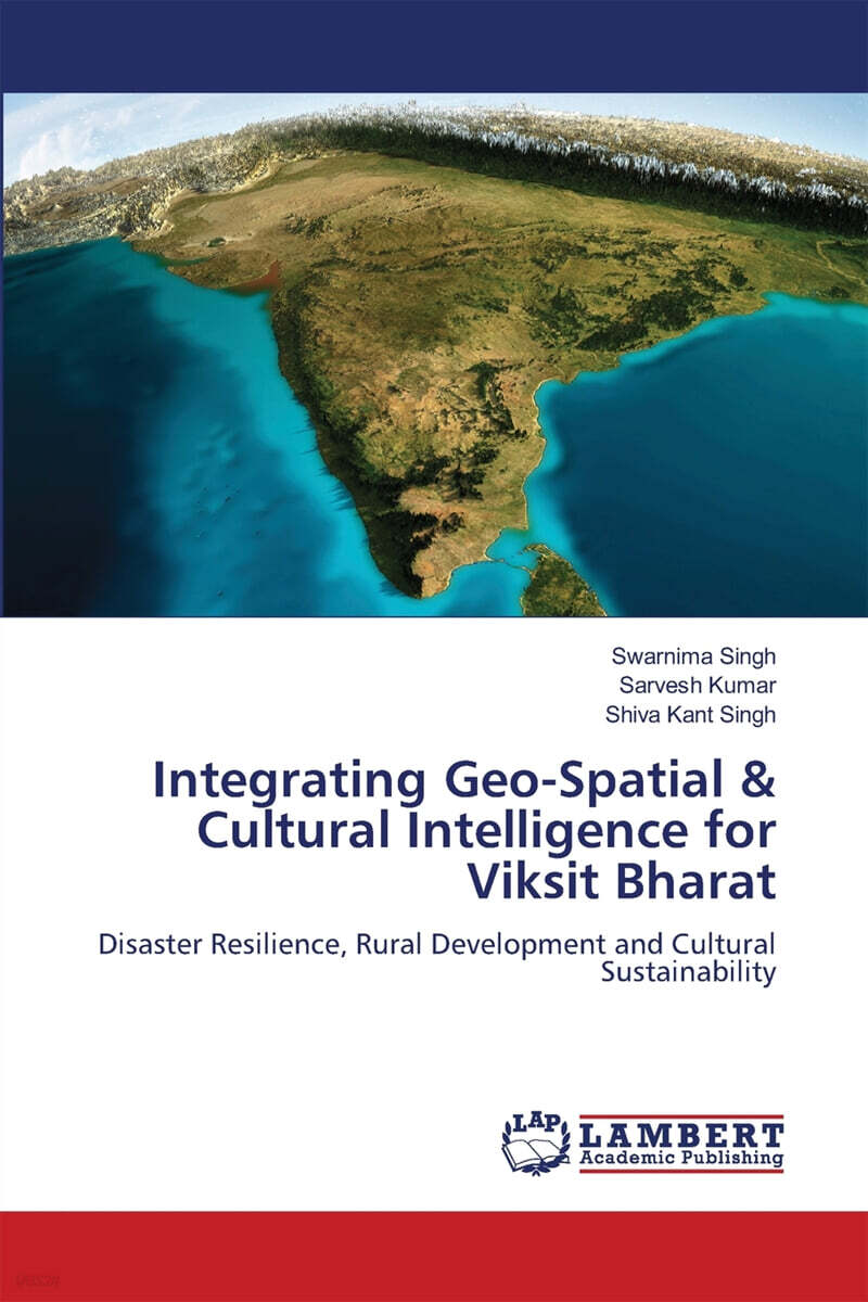
Integrating Geo-Spatial Intelligence is a critical pillar in achieving Vikshit Bharat, as it strengthens disaster resilience, accelerates rural development, and preserves cultural sustainability. Geo-spatial technologies-such as satellite imagery, GIS, remote sensing, and spatial data analytics-enable informed decision-making by providing accurate, real-time, and location-based insights.